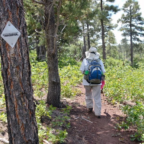
The Rim that stretches across the northern face of Arizona
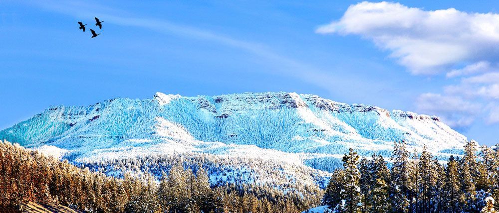
It is hard to imagine an incredible rim that stretches across the northern face of Arizona. One really must experience it to appreciate its natural beauty. “The Rim” begins west in the county of Yavapai and runs across the northern section of the state, stopping close to the border of New Mexico. This Rim, a massive wall of rock, limestone and sandstone, makes up the southern edge of what is called the Colorado Plateau and boasts the largest stand of ponderosa pines in the world. The Rim Country encompasses a fifty-mile radius surrounding the town of Payson.
Erosion and faulting formed the Mogollon Rim, which you can see in Fossil Creek Canyon and Pine Canyon. The Rim is a stunning escarpment rising 2000 feet above surrounding canyons and foothills. And it is about 200 miles long! Forest Road 300 runs along the escarpment edge with dramatic scenes for about 44.3 miles on an unpaved road. There are breathtaking panoramic views when traveling on the Rim Road. I can recall once when I drove part of that 300 road, stopping frequently to enjoy the incredible views that the surrounding beauty afforded the driver!
“The Ancient People” were the first to inhabit the area. These people lived in this area from AD 600 until about 1350. Except for a few rivalries between their bands, all was peaceful with these tribes of Yavapai and Tonto Apache for hundreds of years. They practised agriculture, and visitors can still see some remains of their cliff dwellings. People often still find the grinding stones and pottery sherds of “The Ancient People” in the areas where they used to live. Artifacts found in the Rim Country also indicate that these ancient people hunted 10,000 years ago.
But things changed with the discovery of gold. With that discovery, the area brought many prospectors, white trappers and ranchers, which resulted in the Apache Wars since the Indians never counted on this influx of people. With Indian raids on the herds of ranchers, fighting broke out. The government built forts around the Rim country for protection from the Indians. It was in the 1870s that the army forced the Apache/Yavapai to live on reservations. The American settlers then created ranches and took up mining. Early villages in these areas were Strawberry, Pine, Young, Gisela and Payson.
Today, the Mogollon Rim offers developed and primitive camping sites. Most lake areas like Knoll Lake, Blue Ridge Reservoir, Woods Canyon Lake, Willow Springs Lake, and Chevelon Lake have facilities. Primitive camping is also available in the area.
A last note — the word “Mogollon” was taken from Don Juan Ignacio Flores Mogollon (Spanish Governor of New Mexico). There has been a lot of discussing and laughter around the correct pronunciation of his name. Variations include:
Phonetically: “maa-guh-huhn,” “mo-go-yawn” “muggy-on”, “mon-go-lee-on.” To simplify it, just do like the locals and call it “THE RIM!”