Treasure hunting in the Salt River Mountains
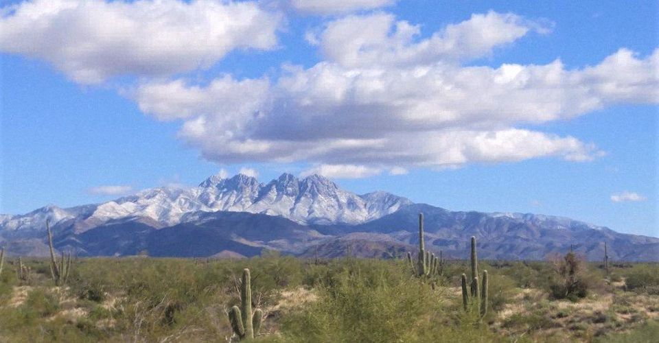
I like hiking and I am enchanted with the Superstition Mountains and our Four Peaks area. So, when I heard about someone who had spent twenty-some years investigating historical Spanish monuments in these areas, I went to investigate. This is part of the interview with “Wood”, the monument man.
AE: Tell me about yourself. Why do they call you” Wood,” the monument man?
W: I am nicknamed WOOD because it is part of my middle name. I have had an intense fascination with -- and have done extensive, long-time research on the monuments of the Southwest. These monuments were created first by Indians, then secondly by Spaniards and Jesuits marking their trails.
In 1978, I started seriously hiking in the wilderness of the Superstition Mountains and the Four Peaks areas. I was 22 years old then. I backpacked -- sometimes a week at a time -- exploring and photographing the surrounding nature that I came upon.
Along the trails in these different areas, I noticed rocks that resembled Indian heads -- and a myriad of different animals -- such as turtles, snakes, dogs and such. Upon closer inspection, I began to realize that these had been created by unknown hands. They were chiseled and fashioned by persons unknown to me at that time.
With many of the ones that I inspected, I noticed they had a common theme. It showed the general direction to take -- or the eyes on the animals were pointing in certain directions.
After years of taking pictures and studying these monuments, I came to the realization that many of them were very old and Jesuit and Spanish in nature, leading to different locations in the mountains.
A: Anything else about these historical monuments?
W: Yes. I also realized also that many of them marked shorter trails that led to very old mining sites. But, also, some of them marked long trails that would traverse the entire state of Arizona and into New Mexico.
For instance, the Palatkwapi Trail leads from the Hopi Mesa down into Mexico. It is part of the trail that Coronado used to get to Zuni, New Mexico (which Coronado believed to be the Seven Cities of Cibolo or El Dorado).
One year prior to the Coronado expedition traveling to Zuni, Friar Marcos de Niza made the journey on roughly the same trail. We have found a large stone monument that honors Marcos de Niza as well as a large carved stone standard poodle which marks it as being the Royal Trail. The Royal Trails led to different locations that the King of Spain -- at that time -- had great interest in.
So, early on, I began to develop a basic knowledge of these monuments and painstakingly began documenting them.
Later, I discovered a gentleman named Charles Kenworthy who had tapped into the records of Seville, Spain and Mexico City. He verified in his books that the Spaniards and Jesuits did indeed mark their trails to their mines and all trails that led to faraway places. This area was, after all, Spain before it was America. These trails were the highways of those days and the carved stone monuments were the road signs.
AE: So, what did you do with this information?
W: Armed with good information, I took to hiking their old trails. My good friend and partner (also nicknamed “Wood”) and I spent a lot of time backpacking in the wilderness areas following these monuments that led us to old Spanish and Jesuit mining sites.
AE: Sounds fascinating that those stone monuments were still standing with their directions. So, when you got to these sites, what did you notice?
W: We realized that the Indians had covered many of them over or the Spaniards had covered them up and had constructed death traps that would kill anyone who would try and get into them -- such as sliding rocks -- as when a certain amount of material is moved in front of it, it is set to slide and crush you.
AE: How could you avoid them in your endeavors to explore them?
W: The Spaniards chiseled codes into the rocks and once we knew that these codes were there to stop us, we could avoid them.
For example, sometimes a 4x4 board could be wedged to stop the rock from sliding and we could get around it. Other times, we could circumnavigate the original opening and drop in from another location.
Charles Kenworthy has a great book on death traps but -- please trust me -- it is not all inclusive. There are many more that he couldn’t cover in his book.
AE: So, what kind of maps did you use or did you just go searching in the wilderness areas you knew they traveled?
W: Both. To clarify, the Spaniards and Jesuits always followed rivers. They needed water to survive. From following these rivers, one can see the signs that they carved.
The first sign to look for is what is called “the Mountain Door.” It would be a square notch cut into the mountain high above, with another clue carved near it. We have found these clearly marked from three to eight miles from any given river.
For an example of this, you can go out to the Ragged Top Mountains -- south of Phoenix -- headed towards Tucson. When you get to the Ironwood Tree Preserve area, look at the east end of the Ragged Top Mountains where you will see a very large Priest which was carved next to the notch as he is looking through a Mountain Door.
What he is looking at today is the Silver Bell Mine in Marana, Arizona. This is the mine which Americans only later discovered. What the stone Priest Monument was looking at three hundred years ago was a Spanish mine or possibly a mine the Jesuits discovered. The proof is there for anyone to see.
The most interesting Mountain Door that I have yet found is one that everyone may have heard of, that being the Mountain Door on the north end of the Superstition Mountain range. This particular Mountain Door is denoted on the Peralta Stone Maps that are in the Superstition Museum in Apache Junction. It has a pointed spire that curves towards the Superstition Mountain next to it.
Pointed is the key word here, because on top of that mountain is a certain rock that is known as a Compass Stone. It is also known as the Cursom Perficio Stone Compass (meaning perfect course). It was set there and carved by the Jesuits.
From the center of this stone above, one can shoot the coordinates that will take them precisely to the Lost Church Treasure of Santa Fe. This was the cache site and gold vein the Jesuits worked in the Salt River Mountains. (At one time, the Superstitions and the Four Peaks area were all called the Salt River Mountains.)
There were a few smaller mines in the Superstition Mountains that the Spaniards worked and one of those was probably one of the mines that the Dutchman Jacob Waltz found.
Many of the diggings that people have found in the Superstition Mountains were of Spanish origins but just were not rich enough to be developed into anything substantial.
AE: Tell me more about what you call “The Lost Church Treasure.”
W: The Lost Church Treasure of Santa Fe sits high in the Four Peaks Mountains and is a very rich vein that runs through the entire mountain It is the basis for all of the legends that mention the Lost Dutchman or the Superstition Mountains and it is the source of all the gold that has been found lying in the desert as if it had been spread out by ‘someone.’
Jacob Waltz -- the historic figure called “the Dutchman”-- found rough gold just lying scattered out in the desert. He is reputed to have had a new dry washer built because of it.
AE: What is a dry washer?
W: A dry washer is a gold recovery system used by miners in areas with little or no water. But ask yourself this question, “What would a man with a very rich vein of gold be doing with a dry washer, when a hammer drill would be the needed tool?”
In my research, I find that there was a massacre in which the Apaches intercepted the Spaniards and the Jesuits coming from the high mountain mine which was the place from which the Lost Church Treasure of Santa Fe were cached. It is very possible the Jesuits and Spaniards had over 200 burros laden with rough gold from the mountains above.
The Indians attacked and killed all but a few from that group. Since the Indians never had any use for gold, feverishly sought by the Spaniards and Jesuits, they threw the gold out on the desert floor, never to be found again….or so they thought.
The party which was attacked happened to be carrying the special stone maps that were to be hidden in another cache site down in Sonora. They were made of stone to survive the elements of moisture, decay and rodents as hide maps would not last long. The Jesuits knew they were going to be expelled by the King of Spain. They wanted to protect their future interests -- not knowing how long they would be in exile.
The Peralta Stone Maps, once deciphered, tell us the coordinates to be used to create a Pythagorean Triangle and pinpoint the Lost Church Treasure of Santa Fe.
I continue to observe and interpret our surrounding areas for monuments and their secrets. It is thrilling to discover the secret messages, especially when many of us have been passing by monuments for years -- noticing their forms, but not understanding their directions and essential messages.
AE: Thank you for this initial interview about monuments in our Arizona Four Peaks and Superstition Mountains. Wood, if we wanted to learn more about our area Monuments, what do you suggest?
“Well, he said,” with a grin, “they could buy my eBook, now available on Amazon. The Lost Church Treasures of Santa Fe.
AE: I recall sometimes looking at our Arizona mountain landscape with curiosity and imagine certain outcroppings and rocks “looked like animals.” But I never put any more meaning to them. Perhaps my next trek into the Superstitions, I will be scrutinizing them more closely. After I have read Douglas “Wood” Elam’s book.
With hopes that all your trails lead you to discover beauty and wonderment and bring you safely back home.
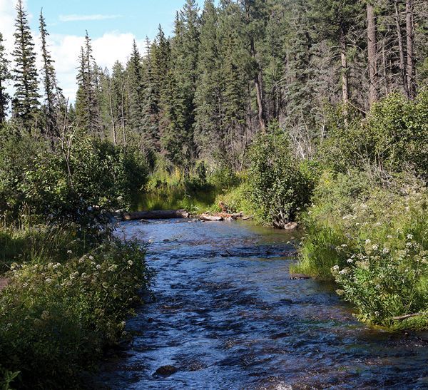
From scenic overlooks to rivers and wildlife in the White Mountains
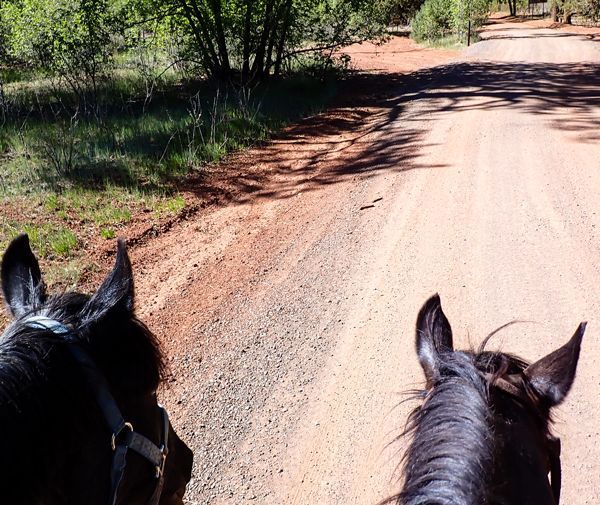
Horseback Riding the White Mountain Trail System

Opening home and heart to love again
Kayaks and Crawdads at Big Bear Lake (Sush Be Tou)
Great-Granddaughter of Corydon Cooley
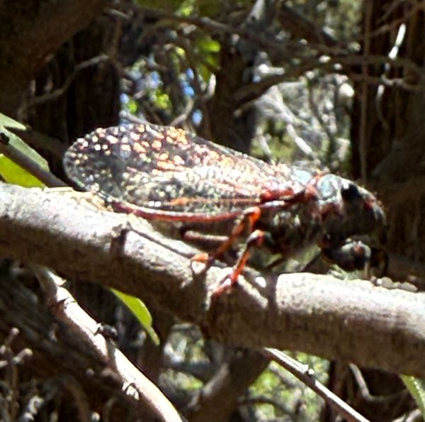
The plight of the cicada
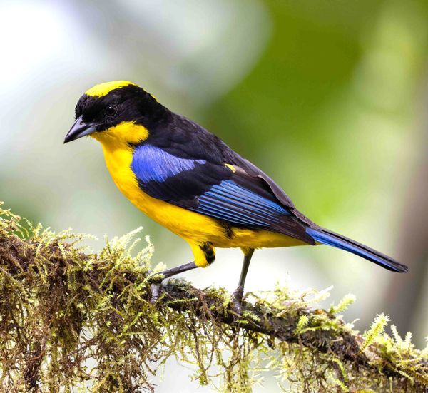
Adventures in Costa Rica part II

The stories we tell ourselves color our responses...
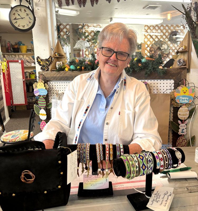
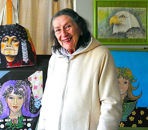
Local White Mountain Artisan and Authur

Are you the voice in your head? or something deeper...