Horseback riding the White Mountain Trail System (mostly)
Article and photos
by Allanna Jackson
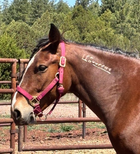
March 27, 2025, was an unseasonably warm, dry, sunny day in the White Mountains — perfect trail riding weather. I have hiked parts of the Buena Vista and Chihuahua Pines trails many times. Cinnamon has been on parts of the Buena Vista trail several times, but she had only been on Chihuahua Pines Connector once, and that was 12-years ago.
I trailered Cinnamon to the Buena Vista Trailhead. There were several vehicles in the parking lot when we arrived, but no one was there. Cinnamon found a stick to chew on while I saddled her. We set out on the Buena Vista Trail toward the Chihuahua Pines Connector trail.
The first half-mile of the Buena Vista trail is a balloon string leading to the loop trail. It passes beside a stock pond which was totally dry. In previous years, when the pond had water in it, I have seen feral horses here. I haven’t seen any horses recently. This time, we had the trail to ourselves despite those vehicles at the trailhead.
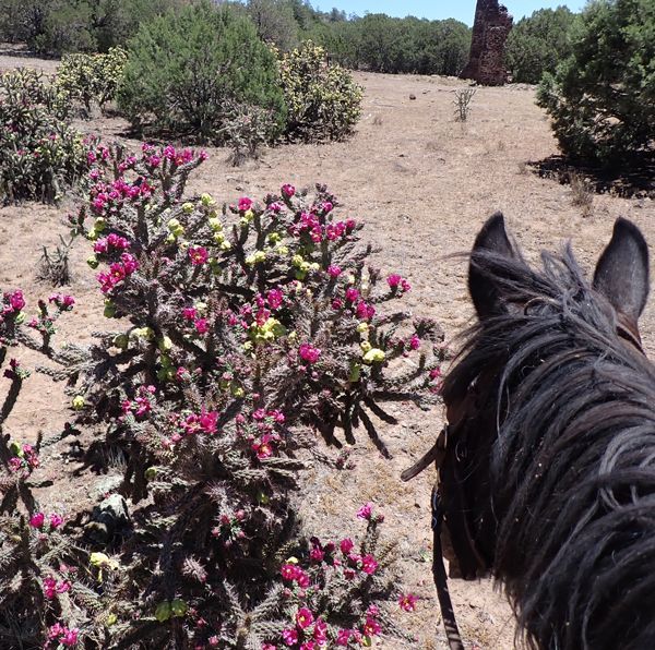
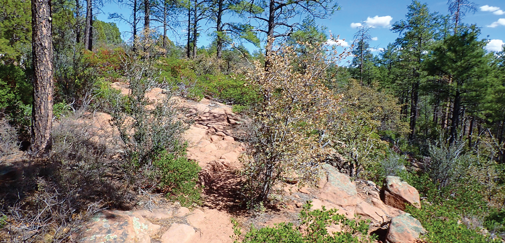
When we reached the loop trail, we turned left toward Chihuahua Pines Connector, going up the trail marker numbers to BV3, where the trail suddenly switches direction and passes the shortcut route on its way to BV4. As Cinnamon climbed up the rocky trail, I spotted a turquoise trail diamond, a relic from the late 1980s. The Forest Service approved this version when they created the Buena Vista trail.
Just after marker BV4, we found a trail angling across the route we were on, but there were no trail markers at this junction. Cinnamon looked to the left, indicating she wanted to go that way. I opted to go right instead, following the well-worn route. I didn’t see any trail markers, just a few animal bones hung in trees, which made me suspect we’d accidentally diverted onto the web of unofficial trails created by mountain bicyclists. A little further along, my suspicions were confirmed when I sighted one of the white diamond TRACKS’ trail markers below us on a section of Buena Vista Trail I recognized as part of the short loop route. After deliberating on whether to turn around or continue, I opted to go on. We found an unofficial OHV route where we turned left and followed it down the hill to where it intercepted the real Buena Vista Trail again. Cinnamon alerted to a bicycle that came whizzing along a trail from our left, crossed the road and continued up the Buena Vista Trail I’d been looking for. Cinnamon’s 12-year-old memory of the Buena Vista Trail route was better than my memories of more recent hikes!
Our unplanned detour took us about a mile off my intended route. We found Chihuahua Pines Connector and followed it down the marker numbers west toward Highway 60 and the Los Caballos Trail. As we approached Highway 60, I saw a flat-bed tow-truck with a school bus on it headed toward Show Low. A few minutes later, I saw a Show Low school district bus leaving Show Low.
The Chihuahua Pines Connector runs beside and above a small canyon until it gets to the highway. At the fence line — the highway right of way — the trail descends into the canyon and runs through a rectangular concrete culvert under the road that doubles as a tunnel. Most years, there is enough water flowing into the canyon to make this route impassible in the spring. This year the canyon floor and culvert were totally dry and marred by graffiti.
Cinnamon approached the tunnel cautiously, instinctively wary of entering a dark, enclosed space where she might be trapped by a predator. I reassured her it was safe, reminding her she had been through this tunnel once before. Cinnamon cautiously entered the tunnel, walking carefully through it. She shied slightly at a piece of cardboard stuck in the sand in the middle of the tunnel. Or maybe it was the flash from my camera that bothered her. She strode more confidently after we passed the half-way point where she could see her way out.
After exiting the tunnel, the trail turns right and climbs out of the canyon, wanders through the trees briefly, then drops back into the canyon, crosses it, and climbs out again. Cinnamon opted to trot up the first slope, then lope up the far side instead of walking. We continued along the Chihuahua Pines Connector trail behind the Torreon Equestrian Center, through the forest and across a power line easement. The trail becomes quite rocky and steep, so Cinnamon needed the boots she was wearing.
As we approached marker CP13, my watch showed it was time to turn around. We were still climbing the hill, so we continued another few yards to a spot that wasn’t as steep to turn around. Cinnamon carefully stepped her way back down the hill we’d just come up. We descended into and across the canyon again. As we went up and around through the trees toward Highway 60, I saw another tow-truck pulling another school bus toward Show Low.
Cinnamon approached the tunnel confidently and marched through with only one wary glance at the cardboard. We climbed the trail out of the canyon at a walk as we continued retracing our steps. This portion of the trail is smooth enough, so I asked Cinnamon to gait, so she did a little stepping pace, some running walk, some foxtrot, and a little trotting.
As the trail turned left toward CP17, another unofficial trail angled right across a wash to parallel the back of a subdivision. My sense of dead reckoning and Cinnamon’s sense of direction concurred that this was a shorter, more direct route back to the trailhead, so we took it. When the trail merged with a single-track road, I asked Cinnamon to lope briefly. We re-joined the Buena Vista Trail at marker BV3 and walked to the trailhead. My GPS said we had been out two hours and traveled 6.46 miles, which was the time and distance I had planned.
Back at the trailer, Cinnamon alerted at returning hikers while I unsaddled. They got into their vehicles and departed with barely a glance at us. I trailered Cinnamon home, arriving at the time I had planned after another enjoyable ride (mostly) on White Mountain Trail System trails.