Horseback Riding the White Mountains Trail System
Allanna Jackson ©2022
The late 1980s and early 1990s was an era of trail building in Arizona. Work on the Arizona Trail from Utah to Mexico had already begun when the White Mountain Horseman’s Association started the White Mountain Trail System. Around that same time, someone proposed creating an east-west Arizona trail from New Mexico to California. The idea was to use the historic General Crook Road across the Mogollon Rim between Fort Verde and the White Mountains. The White Mountain Horsemen’s Association sketched out the General Crook Connector as the link between the historic road and the new White Mountain Trail System. Options for crossing the Apache Forest from the Los Burros Trail to New Mexico were considered. It was the results of a preliminary search for a western route from Camp Verde to California that stopped the project.
The General Crook Connector languished as a few blue diamonds in the forest and a line on a map for 20 years. The Rodeo-Chediski Fire littered the proposed route with skeletons of burnt pines dropped like a super-size game of pick-up sticks. Finally, in the fall of 2013, hard-working TRACKS volunteers turned the General Crook Connector into a real trail linking Forest Road 132 at the edge of the Lakeside Ranger District of the Sitgreaves National Forest to the Juniper Ridge Trail.
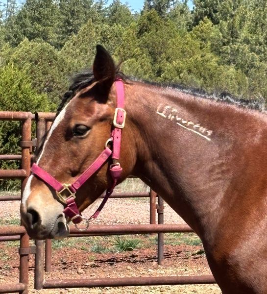
Memorial Day, May 26, 2014, the weather was warm with a light breeze and a few puffy clouds but no rain in the forecast. Perfect weather for my dad, Martin, my brother, Ian, and me to take a hike and horseback ride on the General Crook Connector. We got ourselves organized, including changing a leaky trailer tire. It was 11:30 AM when I loaded Cinnamon into the trailer and three people squished into my truck cab.
We drove approximately four miles down Forest Road 132 west of Pinedale to the crest of a hill where there was space to park and unload Cinnamon. We enjoyed the spectacular view to the west while I saddled. I mounted and rode down the road the 3/10th of a mile to the gate that begins the General Crook Connector while the men drove my rig back to the trailhead at Lewis Canyon group campground to begin their hike.
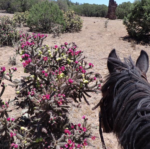
Cinnamon helped me open and close the gate, identified with marker GC24. The trail immediately descended into a canyon, crossed it, and climbed up Pinedale Ridge. The trail followed the ridge for a short distance, offering the first of several views to the north and east of the White Mountains.
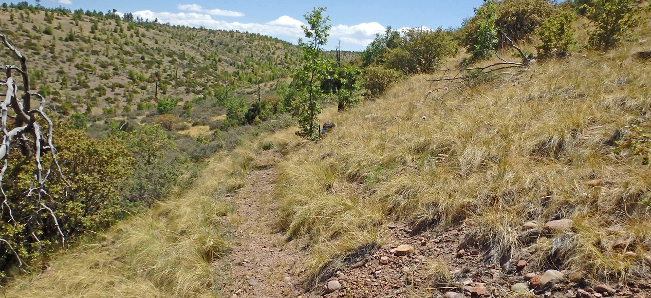
The trail descended into another canyon and then climbed another ridge. This 6-mile trail is rated “difficult”. I stopped for lunch on the top of the ridge just before marker GC19 where there are panoramic views in several directions with shade from some healthy ponderosa pines.
After lunch, we followed the trail along a single-track road atop the ridge for a quarter mile before descending into another canyon. We climbed yet another ridge and then descended into yet another canyon. There were a few wildflowers scattered here and there: lupins, sweet peas, lotus, asters, and several varieties of yellow flowers. Cinnamon helped me with another gate near the bottom of the canyon.
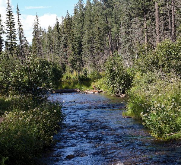
The fire skipped this canyon so it was nicely forested and shady. We found a metal water tank by a spring providing water for cattle and wildlife. Cinnamon eyed it suspiciously and snuffed loudly before warily approaching after I assured her it was okay. She got close enough to look at the water, then went wide around the tank.
The trail across the canyon wasn’t clear so we went the wrong way around some bushes but found it again within a few feet. We found marker GC 12 - the halfway point.
The trail climbed yet another ridge, ducking under the edge of a fallen tree. It followed the top of a ridge that had been cleared by the Rodeo fire, offering panoramic views in all directions. The trail was marked by a combination of rock cairns and blue diamonds with no clear tread on the ground. These exposed ridges were why we did this trail when there were no thunderstorms in the vicinity.
The trail descended into yet another canyon, this time clinging to the side of the mountain as it wound its way down into another surviving patch of pines. The trail climbed yet another, smaller ridge, then descended into Lewis Canyon for the last two miles to the campground.
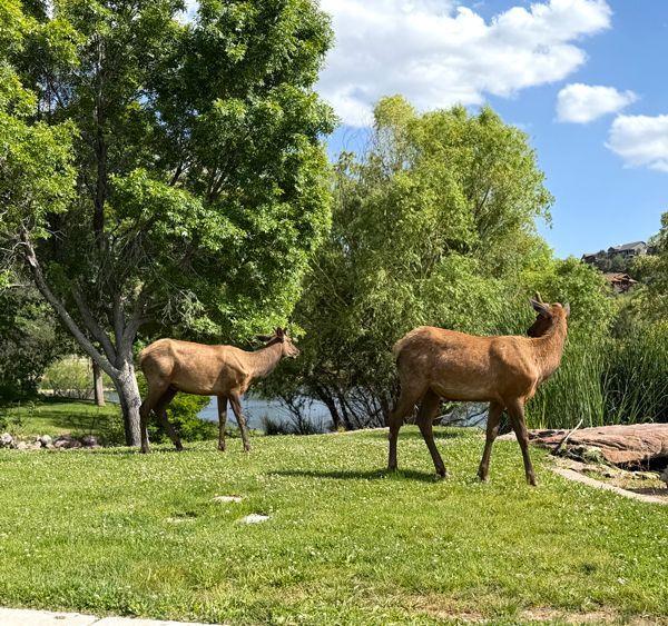
The worst tangle of downed logs was between markers GC9 and GC5. Between GC8 and GC7 Cinnamon alerted my family coming toward us. They told me about the elk they’d seen and the patch of wild lupin that was coming up. I told them about the sweet pea flowers. Dad gave me the keys to my truck while Cinnamon snatched some grass. They took photos of us, then we continued our opposite directions. At GC6 Cinnamon alerted, as if she’d understood the report of an elk sighting, but I didn’t see any.
At GC1 we were within sight of the junction with Juniper Ridge Trail, which Cinnamon recognized and remembered. My truck was parked in the shade near the trail kiosk.
Cinnamon strolled right past my trailer and crossed the campground, looking around. I was still on her but had dropped the reins on her neck. I let her wander, curious where she wanted to go. She turned right onto the road and followed it out of the campground, with a detour to look over the edge of the hill beside the road. I turned her around and asked her to gallop around the campground road instead of taking the Juniper Ridge trail. We circled the campground at a walk twice before stopping at my trailer to unsaddle.
When I tied Cinnamon to the trailer and started toward the outhouse, she got anxious, threatening to throw a fit, so I took her with me. Back at the trailer I groomed her thoroughly and loaded her. I drove back to FR132, turned around and parked in the shade beside the road then called my brother. They had just reached the road. I entertained Cinnamon with handfuls of grass to eat while she stood in the trailer. The driver of a large ATV waved as he drove by us on the road. When my men arrived, we drove home.