Hiking Mount Baldy's East Trail

A few days ago, I hiked Baldy with some friends and we were the only hikers on the trail. That is a first for me. Other than some casual conversation, the only sounds we heard were the birds (nutcrackers that were pointed out by my friend and birding aficionado Rob Bettaso), squirrels, chipmunks, our boots on the dirt and my dog, Duncan, panting. It was a perfect hike on a perfect day even though ice clung to the edges of the Little Colorado River and the temps brought a chill to my fingers. As we ascended the mountain, however, we began removing layers of jackets and sweats.
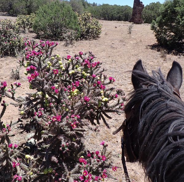
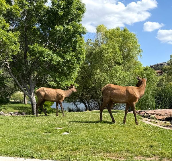
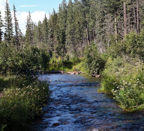
It’s a challenging trail that brings many rewards to hikers. It is one of the few wilderness areas in the country that travels through a subalpine life zone. The heavily forested slopes are made up of a variety of trees including Colorado blue spruce, white fir, ancient Douglas fir, ponderosa pine, white pine and aspen. The Little Colorado River and the Salt River have their headwaters on the slopes of Mount Baldy. A variety of wildlife inhabit the lower reaches of the mountain, such as Rocky Mountain elk, black bears, Mexican grey wolf, mule deer, porcupine, wild turkey and blue grouse. Wildflowers are sprinkled across the meadows and strawberries, raspberries and mushrooms line the trail in late summer.
Once an active volcano, Baldy’s unique display of stone figures can be attributed to a series of eruptions that ceased about 8-9 million years ago and its slopes were carved by water erosion and glaciers. The fact that this mountain is sacred to the White Mountain Apaches, gives it an added mystique — it is known to inhabit the mountain spirits and is part of the four most sacred mountain ranges: the White Mountains of Eastern Arizona, the Pinaleno Mountains near the town of Safford in southeastern Arizona, the Four Peaks near the City of Phoenix and the San Francisco Peaks near Flagstaff.
At 11,421 feet, Mount Baldy is Arizona’s second highest mountain. It is located on the eastern edge of the Fort Apache Indian Reservation with the boundary line between the Apache-Sitgreaves National Forest and the reservation being about seven miles up and between the East Baldy Trail and the West Baldy Trail. The area beyond this boundary is off limits due to its designation as a Tribal Wilderness Area — a sacred and pristine area that is protected. White Mountain Apaches still travel to the top of their sacred mountain for prayers and rituals.
Mount Baldy is 6,975-acres and one of the smallest, but most pristine areas included in the federal wilderness system. The East Fork of the Little Colorado River snakes through vast meadows dotted with colorful wildflowers at the beginning of the hike and about half of a mile up the trail you’ve ascended 800 feet and the views are incredible. My favorite part is the first ridge on the East Baldy Trail that looks over portions of the White Mountain Apache Reservation, Big Lake, Crescent Lake, part of the Black River Valley, Escudilla Mountain, the Blue Range and into the Gila National Forest in New Mexico. The basalt pinnacles here seem to watch over the landscape and resemble something out of a Grimms Fairytale book. The folds in the rock sculptures show the heat of molten lava that at one time flowed down the gentle slopes of Baldy.
As a designated wilderness area, Baldy has specific rules that are designed to protect the area from over use. Typically, no motorized anything including vehicles, bikes (motorized or not) and chain saws are allowed. Camping sites are limited to six occupants and hiking groups and livestock numbers are limited to 12.
Phelps, built his homestead on the East Fork of the Little Colorado River at the entrance to the trailhead and has been known to many avid hikers as the Phelps Cabin Trailhead. There is plenty of parking, but unlike the West Baldy Trailhead, there are no restroom facilities. For many, a quick four-mile shuttle from one trailhead to the other is the best way to hike Mountain Baldy so you can hike up one side and down the other. You could also hike the 3.5-mile Crossover Trail #96 and end up back where you started. That would put you at about a 18-19 mile hike.
This year, hiking Blady in November, we discovered, was a perfect time to hit the trail.
To find the Mount Baldy Trails:
There are a few Trailheads; All off of Rt. 273.
Take Rt. 260 about 34 miles from Pinetop-Lakeside to the Sunrise Park Resort and turn on Rt. 273. Follow it past Sunrise Park Resort, and the West Baldy Trailhead #94 sign is located on the right side. Keep following FR 273 and just before the curve is Sheeps Crossing and another entrance into Baldy. The East Baldy Trail #95 is even further down FR 273, past Lee Valley Reservoir on the right. Gabaldon Campground, an equestrian campground, is located further down from the Phelps-area Trailhead on Rt. 273 on the right. The trail from Gabaldon meets with the main trail at about a quarter of a mile.