
Some things to know before you paddle the Lower Salt River
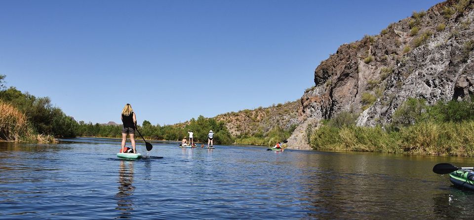
On a typical summer day along the Lower Salt River, you will find it filled with energetic inner-tubers converging on — and in — its cool waters as a reprieve from the triple digit temperatures of the desert valley. And yet, it is one of the go-to places for kayakers who reside in the surrounding cities. It is a beautiful paddle on one of Arizona’s largest rivers surrounded by desert landscapes, mud cliffs and mountain scenery.
We started our paddle on the Lower Salt River pretty early which is highly recommended during the summer to avoid the day-time partying and the heat. They say you can also put in for a sunset paddle but I’m pretty sure it doesn’t cool down until the sun is completely set in the desert. The other option is to wait until the fall when the tubing subsides and the temperatures cool down. We went in late April before the tubing parties began. The temperature was around 80 degrees and the traffic was very light. If you do paddle the Lower Salt during the summer they recommend that you start (in the water) no later than 7 a.m. so you can get below the bridge before the tubing starts at 9 a.m.
We did a shortened version of the main stretch.The typical distance is 12-miles from Water Users to Granite Reef Dam. It takes about 4 hours to paddle depending how fast you paddle. When you are paddling downstream on the Salt, though, you may move a little faster depending how fast the river is running.
We put in at Blue Point Recreation Area and took out at Phon D Sutton. Blue Point Recreation Area is a perfect place to put in but Phon D Sutton would not have been my first choice for taking out a kayak because of the steep uphill grade to the parking lot. We had help from a family that was picnicking there — to whom we are incredibly indebted. This was the first time I had ever kayaked the Salt River, so my next trip will include the entire stretch and hopefully an easier exit. I’m not complaining — it was still an incredible experience.
The river runs pretty fast and we did have a paddler fall out of her kayak while trying to help another paddler move away from some trees where her kayak was lodged. She grabbed a branch to hold onto and the force of the water pulled her boat out from under her.
It was not a big deal — besides the water being very cold. Since we had five of us paddling, we were able to catch her boat and hold on to it until she could reach us. It is impossible to turn around and paddle upstream so she had to come to us, which is not an easy trek.
It is important to keep the nose of your boat pointing downstream to avoid hitting obstacles sideways and tipping over. The water turned me around a couple of times, but I was able to adjust and continue on my way. It sounds pretty hard but it really isn’t that bad if you focus on the current and which way the rapids are flowing. There are several spots where you aren’t rushing along with the current and you can enjoy the scenery and, maybe, even the wild horses along the shoreline.
I highly recommend a dry bag to put all of your belongings in (especially a camera and/or phone), a paddle leash and other clips to attach things to your kayak, and ALWAYS WEAR YOUR LIFEJACKET (PFD) and sunscreen.
NOTE:
This stretch of the Salt River depends on periodic water releases from the Stewart Mountain Dam. The most consistent of these releases occur between mid-May and mid-October. Luckily, there’s a river gauge just below the dam where you can check the streamflow. This is public data, so you check the official USGS source, SRP’s website, or use something else like River app. The ideal flow for kayaking is between about 500-1500 cfs. The bare minimum flow you’d need is about 300cfs, though you may need to get out and drag your kayak through some shallows at that level. (Kayaking the Salt River)
Check out this dedicated website for more information: https://www.kayakingthesaltriver.com/
Season: May-Oct
Ideal cfs: 500-1500
Experience level: Novice
Rapids: mostly Class I
River Miles: ~12
Vehicle shuttle required
Parking fee: $8 (Tonto Pass)
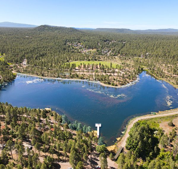
Adopt an Acre at Woodland Lake Park
TRACKS August Local Hero: Nick Lund

An interview with Greg the Sasquatch of Sasquatch Honey Bees
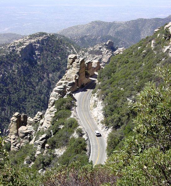
Mount Lemon: A Gift and a Challenge

The Life and Times of Lee and Lea Fulmer
All about Termites...
Greeting Friendly Canines
The White Mountain Trail System
Facing Big Decisions

The Art of Linda Lucas