Tips from professional search and rescue personnel
By Dan Groebner, AZGFD
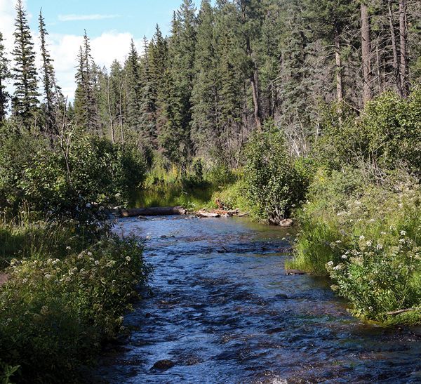
Forest fire restrictions and area closures have been lifted in most areas of the Apache-Sitgreaves National Forest in the White Mountains, so it’s time to get out into the backcountry! Whether you’re scouting for an upcoming hunt or you’re just trying to find that elusive natural mountain spring that could support some rare orchids in our otherwise parched landscape, you’ll enjoy your outing more and have a much higher chance of making it back to your vehicle or other form of civilization if you make a few preparations.
The key to staying found can be perfected by anybody with a little thought and common sense. For some of us lacking these skills, even temporarily, we need to revert to the science of getting unlost sometimes (but don’t always have to tell somebody if we figure it out quickly enough!).
Being prepared to “stay found” means different things, depending on your plans. Is it a group trip or solo? Afternoon walk or multi-day hike? Experienced hikers or newbies? Familiar trail or backwoods bushwhacking? Sketchy weather or a Chamber of Commerce sunny day?
So, each trip is unique, but the art of staying found can apply to almost all of them.
Staying Found
Know the area or study maps prior to departure and carry maps in the appropriate scale (not too magnified, but with enough detail to use for landmarks). A scale of 1:24,000, which is typical of topo maps, is good for day hiking. The Forest Service sells maps that are better for navigating in a vehicle, but they still show some trails. The White Mountain TRACKS organization has developed accurate and detailed maps of the trails they maintain in conjunction with the Forest Service (https://trackswhitemountains.org/). Fortunately, paper maps don’t need to be recharged like your phone maps; that’s why people like to stash some good ones in their packs so they always have one.
The quickest way to get rescued, if you need it, is to tell someone or leave a message of where you are going and when you expect to return. Don’t expect to be able to call someone after you’re in trouble. But remember that you can sometimes get a text message to send when the signal is too weak for a voice call. If your phone battery is almost dead, try switching to airplane mode to save battery in areas with a weak cell phone signal. Don’t forget to switch it off after charging or getting back into coverage.
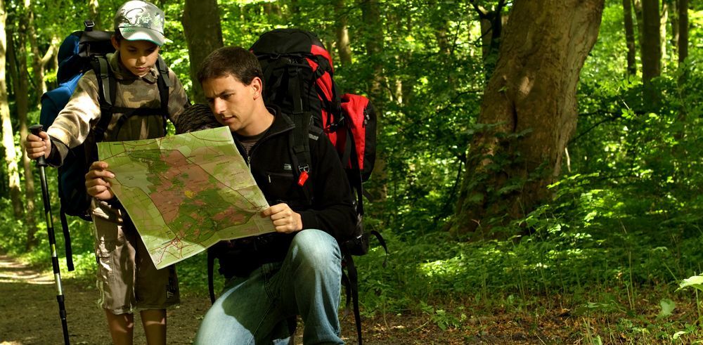
When hiking with a sizeable group of people who have varied experience, especially children, make sure adult leaders are at both the front and back of the group and at all trail junctions to ensure no one takes a wrong turn. Try to keep the group together as much as possible, even though some will want to race. You can slow them down by pointing out cool rocks (sometimes petrified!), holes in trees or nests (who lives there?), or tracks in the sand and mud.
There has to be a parent or two out there who have secretly “seeded” the trail with a small antler shed just to get their kids in more of an observation and discovery mode than a talking one! Radio or phone communication between leaders at the front and back is ideal. Some radios don’t require licensing, but the more powerful ones do, so check the regulations.
Set a waypoint at your vehicle or the trailhead with your GPS before you depart so you can navigate back to it. And plan on your GPS breaking, so bring the backup map and compass and learn how to use them as well as estimating distance and direction.
The first step is to locate your starting point at the vehicle or trailhead on the map. If you’re not afraid of technology and want to purchase some peace of mind, you can invest in a satellite locator and communicator, like a Garmin InReach or Spot X. Monthly subscriptions are needed.
Always try to maintain a reference direction as you walk, which can be south if you are using the sun, or any direction if you know the bearing to a landmark that is always visible. Take time periodically to re-find yourself on a map or app if you lose sight of your reference (sun or other landmark). Of course, this is much easier with a GPS and compass!
Keep track of the total time spent walking, which can be easily converted to rough distances (or use your trip meter on your GPS to measure this). Obviously, you need to plan for the time getting back to your starting point if you are not hiking a loop. And sometimes it can take longer to get back since you’re tired, or it could be all uphill (at least it’s going to feel that way!).
Locate and remember mountain peaks, ridges, drainages, and other landmarks shown on the maps that you carry as you walk by them. Periodically look behind you to see what it will look like on your way back. Confirm the same features on your GPS if it has a detailed map.
Otherwise, you can learn to plot the coordinates of features on your paper map and compare that to the GPS coordinate readings. The numbers along the sides of good maps are the coordinates, sometimes expressed in different formats, like latitude/longitude and Universal Trans Mercator (UTM). Make sure your GPS is using the same coordinate system; otherwise, it will be really confusing.
Identify landmarks or topographical features on your map beforehand that will “box you in” if you wander off course temporarily. “Handrails” are topographical features like streams, roads, or ridges that you can use to travel along to find your destination.
Carry enough water, high-energy food, and wear appropriate clothing and boots for the conditions. A small first aid/survival kit with components designed for your area and trail conditions can be worth its weight in platinum. At a minimum, pack a flashlight with extra batteries, matches or a lighter, a whistle, and a knife or utility tool.
So what happens if you forget to heed the advice above and find yourself completely bewildered about how to get back to the vehicle? Or what advice should you give to group members before you depart in case they refuse to stay found? This can happen to anybody adventurous, so don’t be too proud to use the 911 system in an emergency if you have cell phone service, but don’t count on its availability everywhere in the White Mountains.
Getting Unlost
If the weather gets cold or wet, which can happen in an instant after a frigid summer monsoon downpour, seek shelter to stay warm and dry since hypothermia can be a more serious threat than dehydration or starvation. Avoid the tallest trees and ridgelines since lightning is deadly.
In most situations, you’ll want to keep your group together and stay in one spot to make a plan. Getting unlost many times means staying put and waiting for someone to find you.
Professional search and rescue personnel recommend the S.T.O.P. Principle:
S = Sit down and take a break to calm down; people don’t think clearly if stressed.
T = Think about how you got there by retracing steps and estimating your distance traveled.
O = Observe landmarks that could be hazards or may help you locate a way out, or listen for vehicles, etc.
P = Plan if you should try to keep walking or make a camp for the night.
Trying to hike at night without adequate lighting or even crossing a fast stream can be disastrous. You don’t want to make a critical situation even worse by getting injured with a twisted ankle, lacerated shin, or broken wrist from a common fall. The ugliest situations usually result from multiple consecutive poor decisions, but having bad karma also doesn’t help. A small headlamp with fresh batteries will make things so much easier.
If you’re lucky enough to have phone service, you can describe trail or road markers, landmarks, highway sounds or other cues to a 911 dispatcher if needed. Many trails are well marked, so be observant. The new phone services also include a level of emergency satellite service when out of range of a cell tower.
Many people carry an orange or neon-colored bandana to pull out and use for signaling help. Aircraft and drones can obviously see these colors easier, and searchers can also use software to review the hundreds of photos that can be taken of a search area. Only 1 pixel in the photos has to match the color or look abnormal to be highlighted and saved as a potential target to investigate.
Whistles are probably the most valuable survival tool for their weight as you can blow them in groups of 3 to signal an emergency for a lot longer than you can yell or bang logs or make other noises. Shooting guns in groups of 3 will certainly have a longer range, but eventually you’re going to run out of ammo.
With a little preparation and communication by telling someone where you’re taking a hike or going hunting, you can relax more and enjoy the area knowing that someone will come looking if you’re overdue. Enjoy the Outdoors!