Riding the White Mountains Trail System

© November 2, 2013 & November 28, 2020
Ten days after Cinnamon and I rode through the tunnel on the Chihuahua Pine Connector Trail to the pond at marker CP8 and back, I trailered her out to ride the rest of the Chihuahua Pine Trail from marker CP11 to its junction with the Los Caballos Trail. Cinnamon rode perfectly on the trip down to Show Low, out US Highway 60 to Forest Road 300, also known as the Rim Road, along the boundary between the National Forest and the White Mountain Apache Reservation. I’d scouted the parking area I wanted to use three weeks earlier but didn’t recognize it and went a half mile too far before realizing what I’d done. It was another half mile before I found a place that was wide enough to safely turn around without having to back the trailer. I drove back to my chosen parking spot.
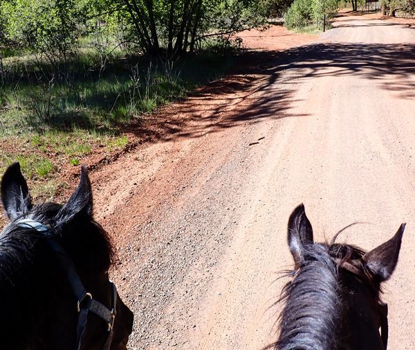
Cinnamon unloaded nicely and looked around at yet another new place, watching the two or three vehicles that went along Rim Road in front of us while I brushed and saddled her. We left the trailer at about 1:40 p.m. and followed a single lane trace of a road for a hundred yards or so to join another road trace that crossed the Chihuahua Pines Connector. Sure enough, in less than a quarter mile, I saw a blue diamond on a tree to the northwest of us. We went cross country toward the trail marker after passing the remains of a juniper tree that looked like it had been poached. We found the Chihuahua Pine Trail near marker CP11. Cinnamon recognized the Trail and strolled along cheerfully. This time -- instead of stopping at the pond, we went all the way to the junction with the Los Caballos Trail.
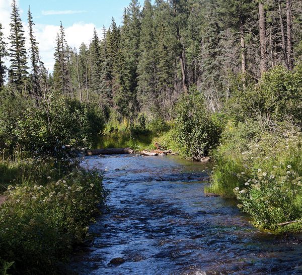
As we strolled along, I noticed several of the trail diamonds had been nailed to Chihuahua Pine trees. There were enough of them in succession that I began to wonder if this was intentional. Between safety marker CP11 and CP9, the Trail has spectacular panoramic views to the north. After CP9, the Trail wanders through the forest and across some shallow canyons. There are several single-track road traces that this Trail crosses or follows briefly before crossing. We rode around the same downed log and through the same falling apart gate we’d encountered on the first ride on this Trail.
West of marker CP8, the Trail crosses another road, then follows a road, then wanders through the woods again. High winds had blown most of the leaves off the oak trees between our two rides. The Trail climbs a hill past an interesting rock formation. The climb is steep enough that Cinnamon got to breathing a little harder. In the vicinity of CP6, the Trail crosses yet another road and an opening in the forest.
Between markers CP4 andCP3, the Trail turns north for a short way, offering another panoramic view just before it descends into the steepest canyon on the route. As we started down the hill near CP3, Cinnamon suddenly jumped into a trot as she and a herd of four or five elk spooked each other. It was hunting season so the elk were skittish. They were dashing through the forest at a fast trot when I saw them. Cinnamon trotted and racked down the trail trace into the canyon as if trying to keep pace with the elk. The elk were moving too fast and the forest was too thick to photograph them.
Cinnamon obeyed my instructions to slow down as we descended the narrowest and steepest section into and across the canyon. Climbing out of the canyon in the vicinity of safety marker CP2, Cinnamon again jumped into a trot as she and the elk spooked each other a second time. This time, the elk ran down the canyon and disappeared. The excitement of seeing the elk kept Cinnamon hyped enough to climb the last ridge up to the Los Caballos Trail enthusiastically.
At the crest of the ridge, we found two CP1 markers nailed to opposite sides of the junction sign -- which said, “Buena Vista Trail 5 miles.” The sign we’d found at the Chihuahua Pine and Buena Vista Trails junction on our previous ride said it was only 4.5 miles from that junction to Los Caballos Trail so the signs disagreed about the length of Chihuahua Pine Trail. My GPS said we were 2.94 miles from my trailer but it wasn’t at either trail junction so that didn’t solve the riddle about the distance. Cinnamon was quite alert and interested in the view from the ridge. I think she was still looking for the elk.
We turned around and backtracked the way we’d come. Cinnamon wanted to trot and rack back through the area where we’d scared the elk. They had seen enough of us and hid someplace so we didn’t see any elk on the way back. My camera’s memory card was full so I stashed it safely in the horn bag and just enjoyed the return ride.
Cinnamon remembered exactly where we’d picked up the Trail and cut cross country across the poached juniper stump to the road trace we’d come in on. My GPS read 5.89 miles when we got back to the trailer. I unsaddled, groomed Cinnamon and dressed her for trailering. She loaded perfectly.
Forest Road 300/ Rim Road is quite rough and downhill from where I’d parked to US Highway 60 so the truck easily rolled fast enough the trailer was bouncing. I promptly slowed it down to 10 mph or less so Cinnamon could keep her balance in the trailer. We arrived at Highway 60 with no problems. Cinnamon rode perfectly going home and unloaded nicely at home. It was another lovely ride on a beautiful day in the White Mountains.
From scenic overlooks to rivers and wildlife in the White Mountains
Horseback Riding the White Mountain Trail System
Opening home and heart to love again
Kayaks and Crawdads at Big Bear Lake (Sush Be Tou)
Great-Granddaughter of Corydon Cooley
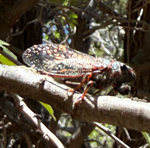
The plight of the cicada
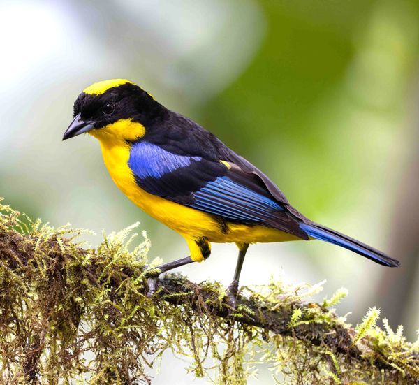
Adventures in Costa Rica part II

The stories we tell ourselves color our responses...

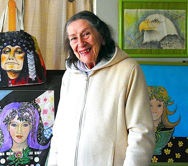
Local White Mountain Artisan and Authur
Are you the voice in your head? or something deeper...